Description
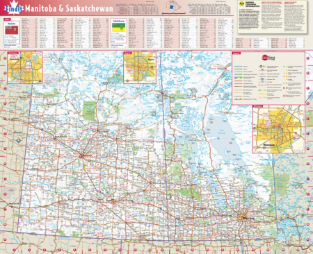
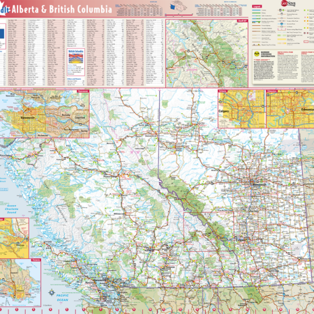
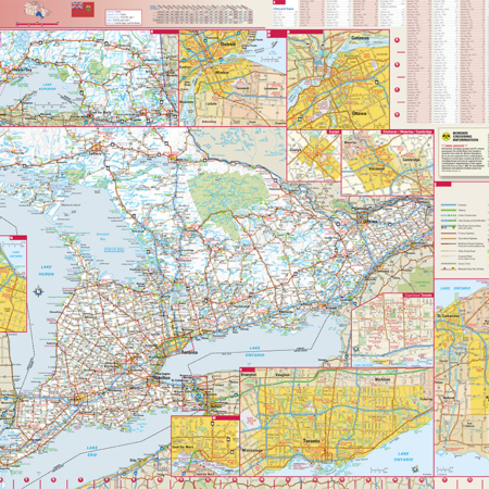
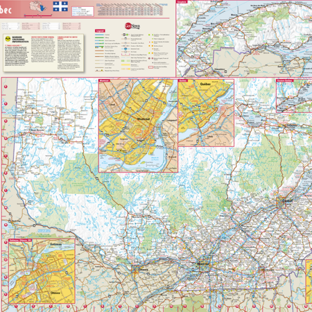
Combining superior digital cartography with innovative features and formats, this collection of Canadian Provincial wall maps is great for home, office, or classroom use.
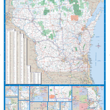
This colorful, easy-to-read provincial map of Manitoba & Saskatchewan identifies all major thoroughfares, secondary roads, freeway interchanges, rest areas, distance markers, landmarks, recreational areas, and more. Shaded relief on the province map provides a three-dimensional sense of Manitoba & Saskatchewan’s topography. Detailed city inset maps of Regina, Saskatoon and Winnipeg are based on the latest street information from Globe Turner’s cartographic experts. The map also includes the latest border crossing information. A city index makes it simple to locate even the smallest town.
39.75″X33″


Reviews
There are no reviews yet.