“National Geographic Road Atlas – Adventure Edition” has been added to your cart. View cart
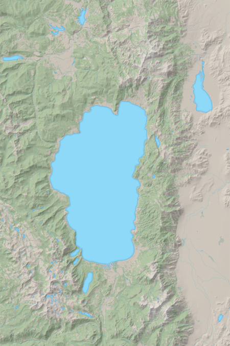
Beautiful artist’s rendition of the landscape and terrain of Lake Tahoe. Two sizes available 24″ x 36″ and 12″ x 18″. Printed on laminated paper.
Related products
-
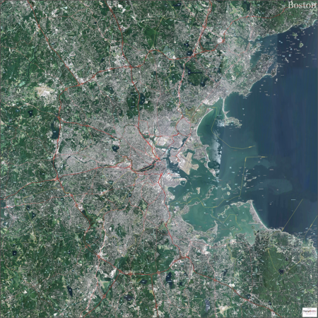
Boston Topo Map with Aerial Photography
$249.00 – $299.00Select options This product has multiple variants. The options may be chosen on the product page -
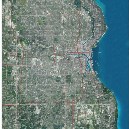
Milwaukee County Topo Map with Aerial Photography
$179.00 – $229.00Select options This product has multiple variants. The options may be chosen on the product page -
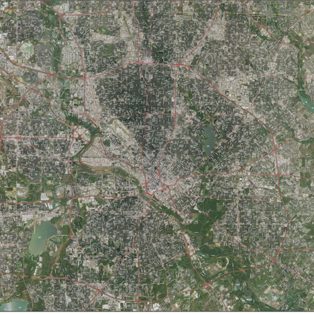
Dallas Topo Map with Aerial Photography
$249.00 – $299.00Select options This product has multiple variants. The options may be chosen on the product page
