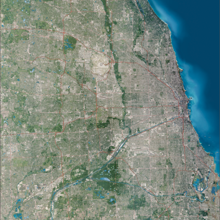
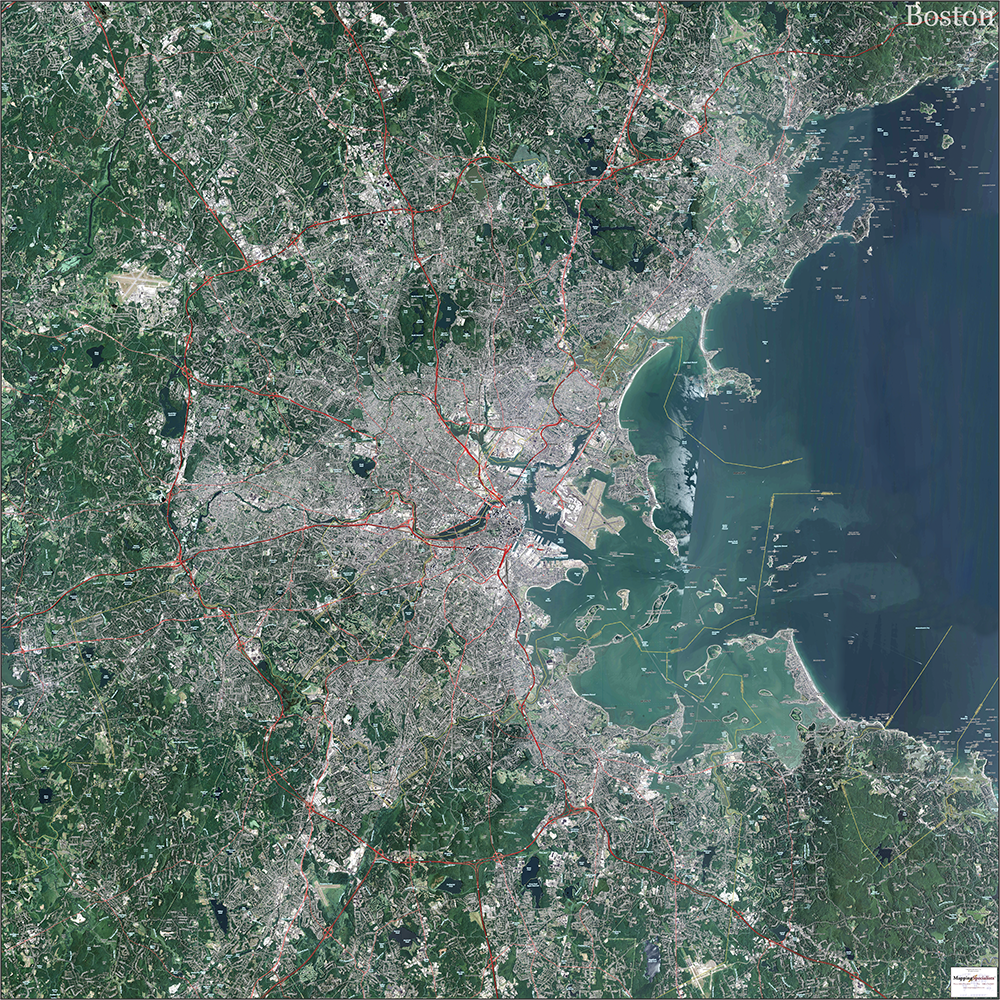
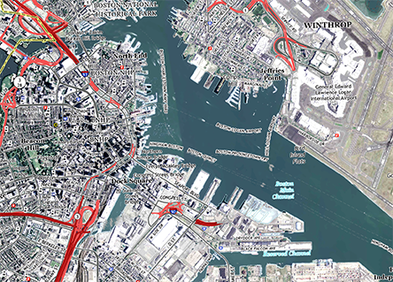
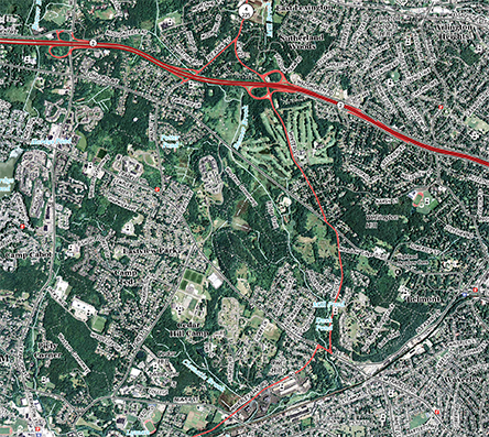
Description
Topo Map of Boston, Massachusetts with latest aerial photography. Measures 60″ x 60″.
Price range: $249.00 through $299.00
Topo Map of Boston, Massachusetts with latest aerial photography. Measures 60″ x 60″.
| Finishing |
|---|

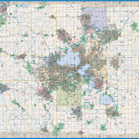
 Dallas Topo Map with Aerial Photography