Description
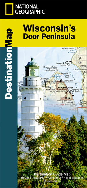
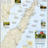
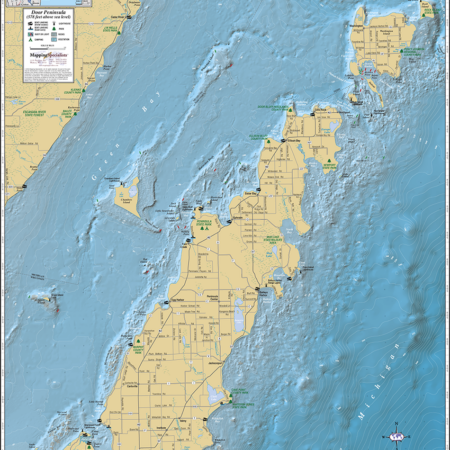
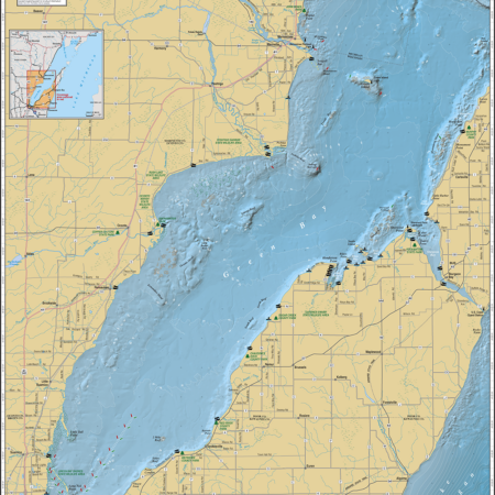
The Door Peninsula Destination Map strikes the perfect balance between map and guidebook and is an ideal resource for touring the landscape of this coastal family retreat in the heart of Wisconsin. The front side of the Door Peninsula Destination Map reveals a detailed map of the 70-mile long finger of land surrounded by Green Bay to the west and Lake Michigan to the east. The map features an inset map of Sturgeon Bay and a comprehensive road network as well as areas of interest such as federal and state parks, wildlife areas, county parks, and beaches. Scenic trails, boat launches and marinas, campgrounds, farmers markets, historic districts, lighthouses, museums and other points of interest are included. In addition, the map features beautiful photographs and information on the region’s cuisine and seasonal beauty.
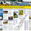
The reverse side of the map provides invaluable content for travelers, including information on regional access to the peninsula, resources including visitor centers and museums, information on the performing arts and arts and crafts shows, historical information, and lighthouse locations. The map features numerous outdoor recreation opportunities including kayaking, biking, and fishing and several useful charts show the locations of golf courses, private campgrounds, state parks, kayak launch sites, and boating access points.



Reviews
There are no reviews yet.