Description
Combining superior digital cartography with innovative features and formats, this collection of U.S. State wall maps is great for home, office, or classroom use.
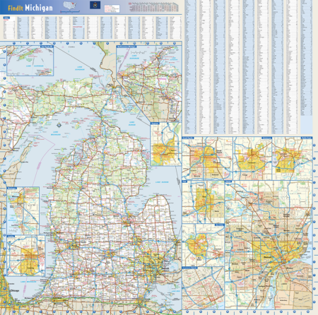
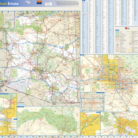
This colorful, easy-to-read state map of Michigan identifies all major thoroughfares, secondary roads, freeway interchanges, rest areas, distance markers, landmarks, recreational areas, and more. Shaded relief on the state map provides a three-dimensional sense of Michigan’s topography. Detailed city inset maps of Detroit, Downtown Detroit, Grand Rapids, Kalamazoo, Battle Creek, Flint, Ann Arbor, Saginaw, Muskegon, Lansing and Isle Royale National Park are based on the latest street information from GeoNova’s cartographic experts. County and city indexes make it simple to locate even the smallest town.
Detail included on this state of Michigan Wall Map:
• Freeways and Tollways
• Primary and Secondary Highways
• Major Roads and Interchanges
• State and National Parks, Forests and Lands
• Mountain Peaks, Lakes and Rivers
• State Parks
• Cities, Towns and Populated Places
• County Names and Boundaries
• Major Airports
• Major Points of Interest
• County and Cities Indexed on Map
Coverage Area and Insets: Detroit, Downtown Detroit, Grand Rapids, Kalamazoo, Battle Creek, Flint, Ann Arbor, Saginaw, Muskegon, Lansing and Isle Royale National Park
36″X36″

Reviews
There are no reviews yet.