Description
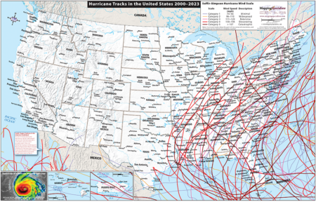
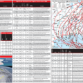
Two-sided series of maps, charts, and diagrams with information about hurricanes that have struck the U.S. Main map shows hurricane tracks from 2000-2023 by intensity, with insets of Hawaii and Puerto Rico. The reverse side has information about the deadliest and costliest hurricanes in the U.S., as well as significant hurricanes and tropical storms since 1900, with an accompanying map. Also includes two views (top, cross-section) of the structure of a hurricane. Measures 17×11, laminated.
This map is customizable and available for licensing! Add your logo, custom locations, or anything else you want to show. Reconfigure and create your own custom product. Contact us to obtain a quote for your customized map.
Made in the USA
