Description
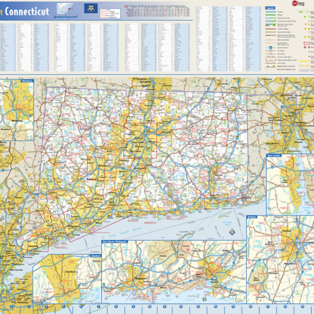
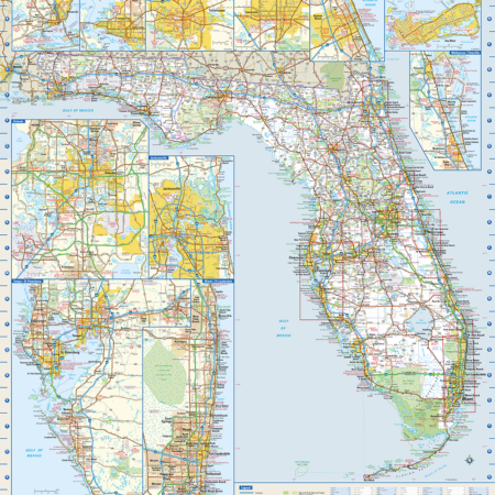
The Warren Map production of the Wisconsin State Map is an newly updated product with all the information you will need to travel around the Badger State. The map shows the state of Wisconsin with cities and highways and a city index on one side and city inset maps on the back. It folds out to approximately 25″ x 38″. It was printed in 2017.


