“National Geographic Road Atlas – Adventure Edition” has been added to your cart. View cart
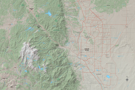
Beautiful landscape map of Colorado Springs, Colorado, showing terrain, land cover, major roads, places, and points of interest. Laminated; measures 36 x 24 inches.
Related products
-
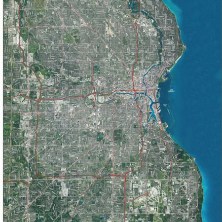
Milwaukee County Topo Map with Aerial Photography
$179.00 – $229.00Select options This product has multiple variants. The options may be chosen on the product page -
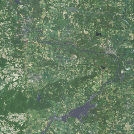
Wisconsin Dells Topo Map with Aerial Photography
$179.00 – $229.00Select options This product has multiple variants. The options may be chosen on the product page -
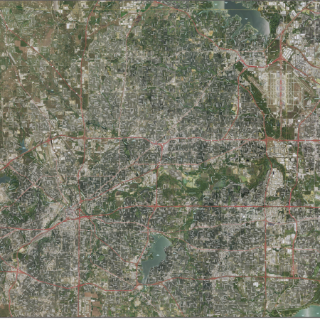
Fort Worth Topo Map with Aerial Photography
$249.00 – $299.00Select options This product has multiple variants. The options may be chosen on the product page -
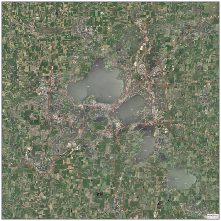
Madison Metro Topo Map with Aerial Photography
$199.00 – $249.00Select options This product has multiple variants. The options may be chosen on the product page
